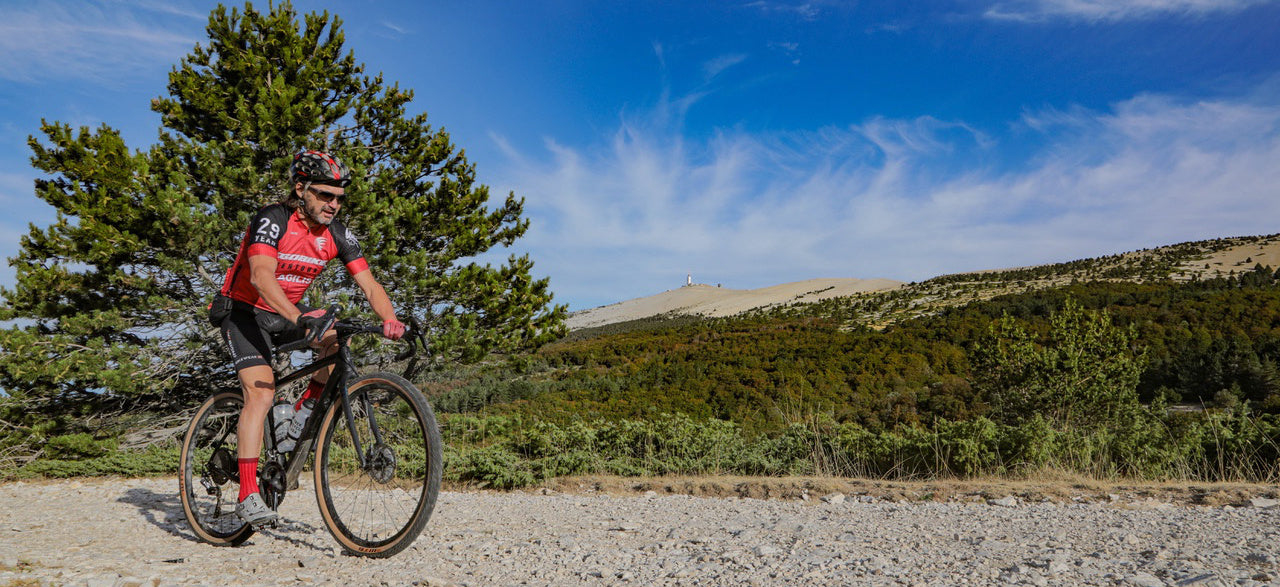
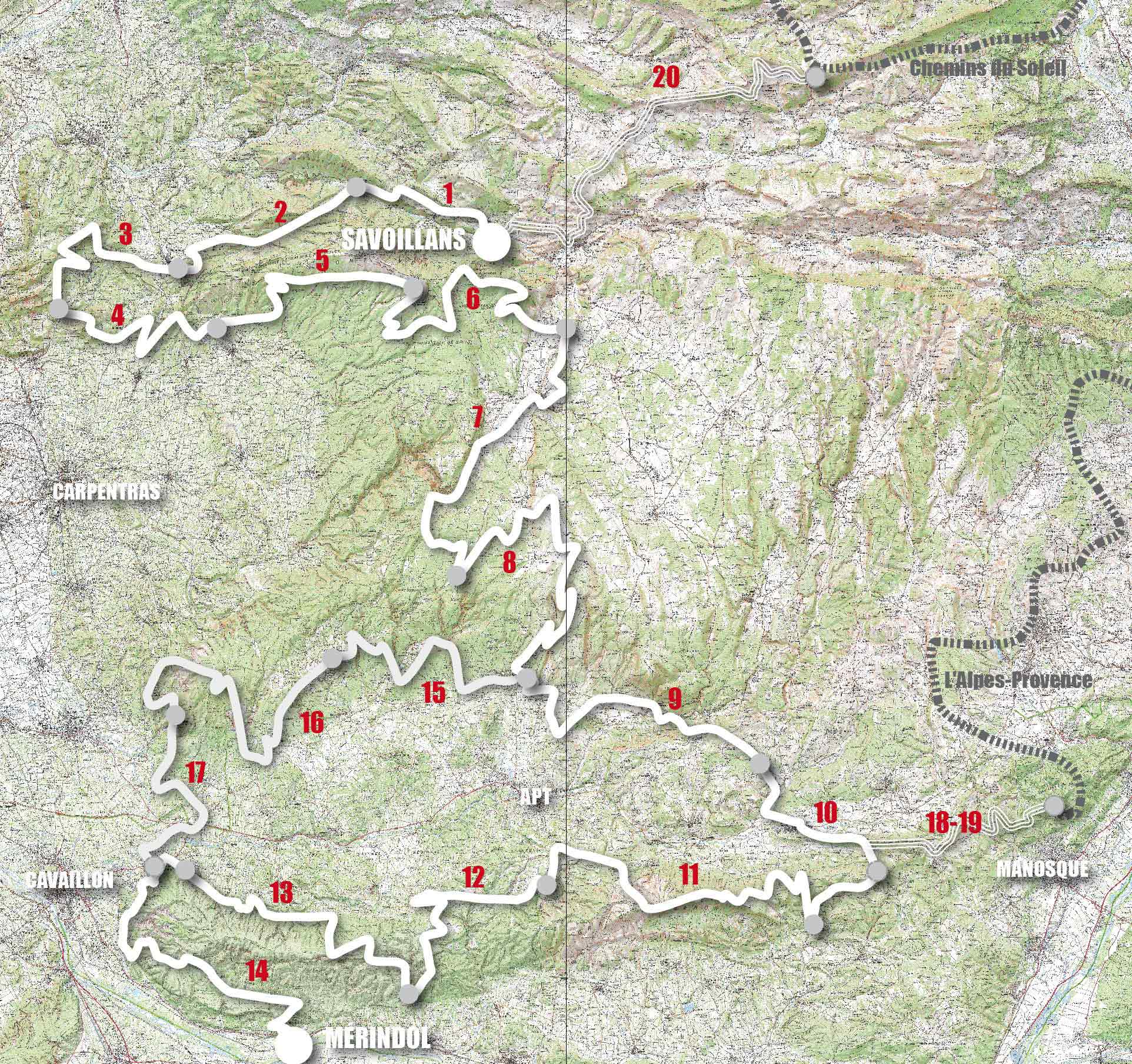
By browsing this VTOPO, you will discover the Grande Traversée de Vaucluse and its variants, taking the most beautiful paths and crossing the typical landscapes of Vaucluse: Mont Ventoux, Dentelles de Montmirail, Monts de Vaucluse, Grand Luberon, Petit Luberon.
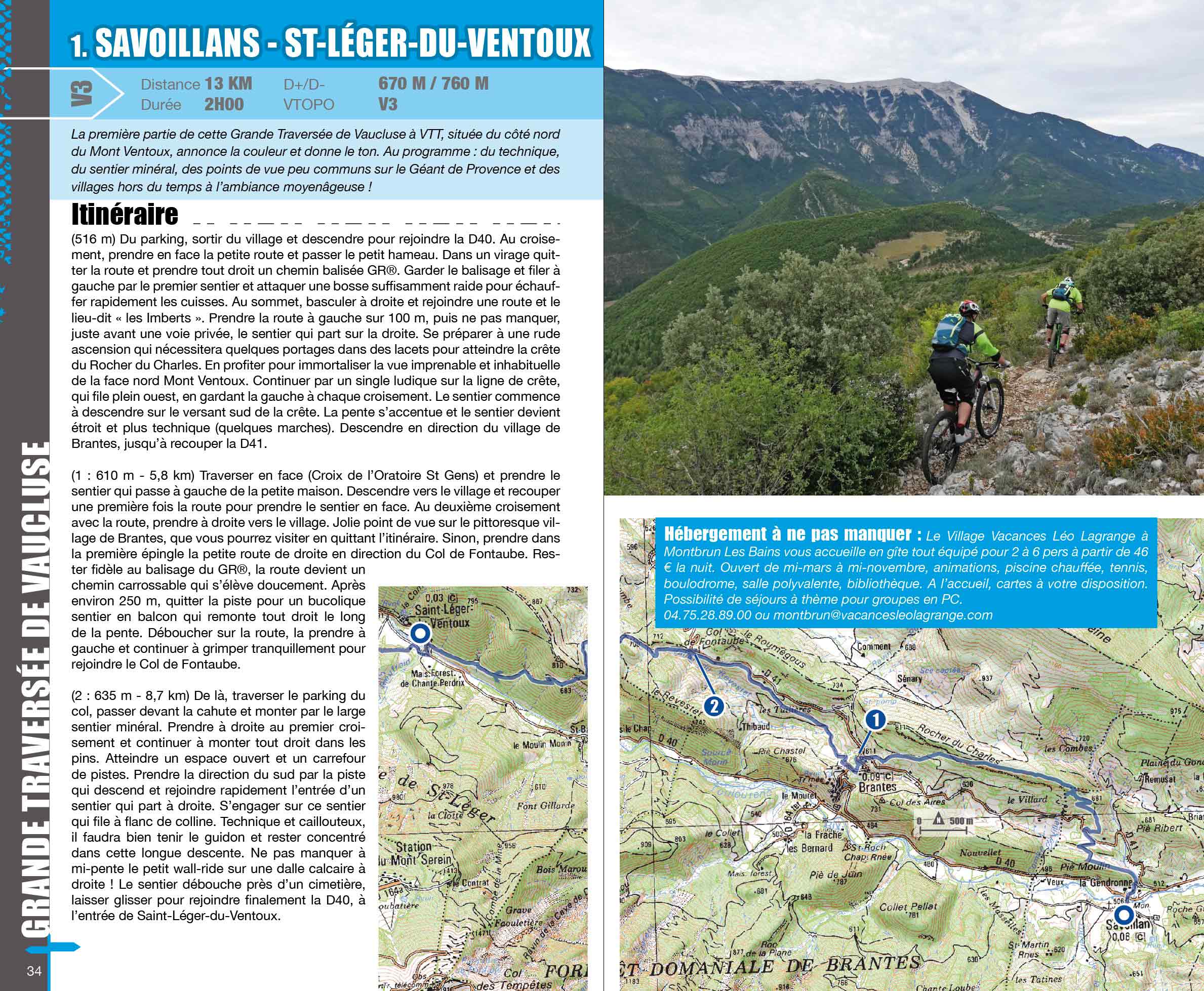
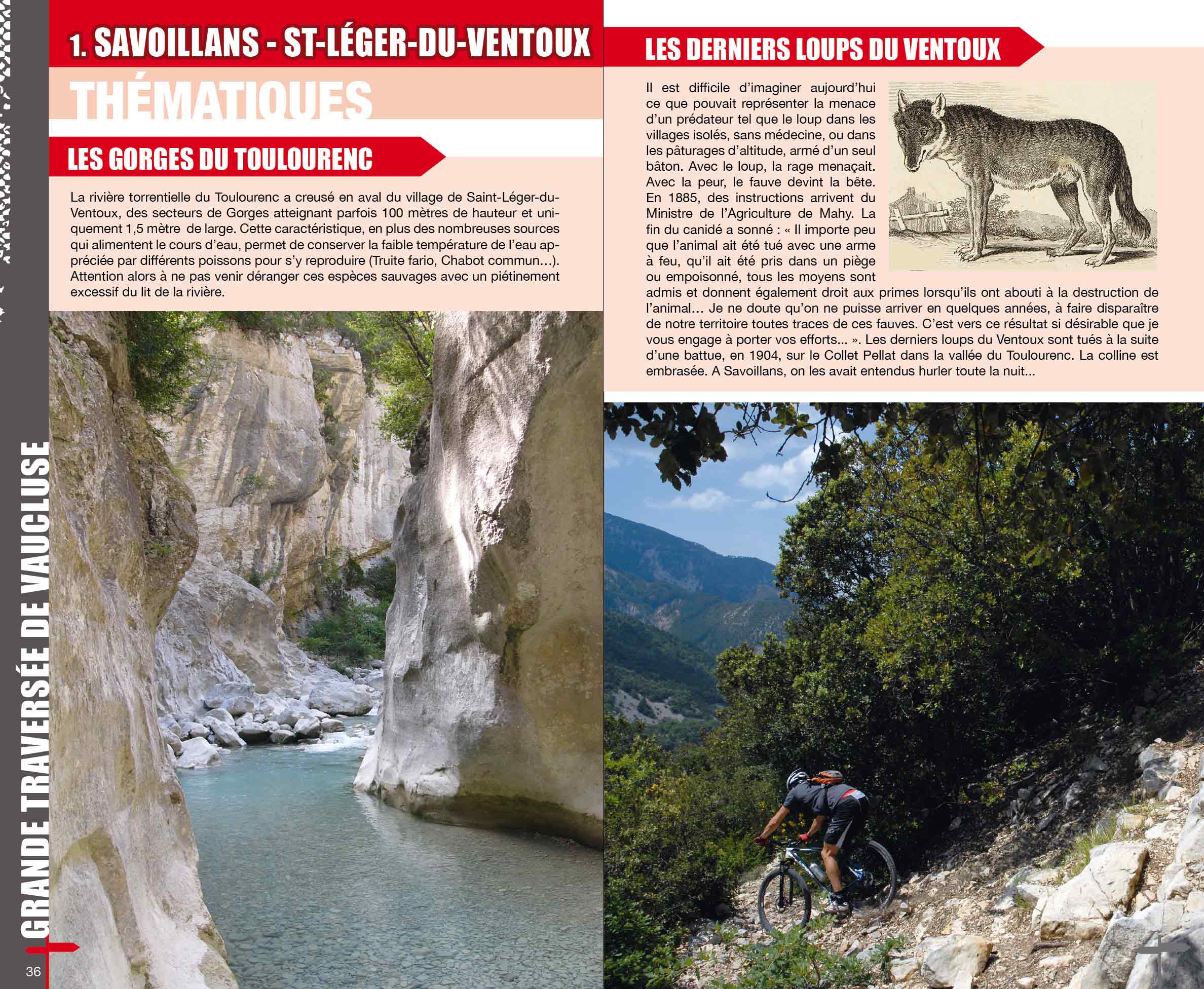
In this topoguide, each section includes clear and detailed data, IGN maps, useful information, many quality photos, thematic texts and a difficulty rating system ranging from V1 to V6.
- Pays : France
- Région(s) : Provence-Alpes-Côte d'Azur
- Département(s) : Vaucluse
- Format pratique 14 x 23 cm et léger 400 g
- Traces GPS au format GPX compatibes smartphones et GPS portables
- Des infos récurrentes très utiles : variantes, région, point de vue...
- Avec le système de cotation technique VTOPO de V1 à V6
- 112 pages en couleur
- Photos
- Langue(s) : French
- ISBN : 978-2-916972-91-6
- Date de parution : March 30, 2016
Livraison offerte à partir de 60€ en France métropolitaine, Corse, Andorre et Moncaco. Tous les tarifs ici.
Expédié sous 48h dès parution.
Un lien pour télécharger vos Traces GPS vous sera envoyé par e-mail.
Les Traces GPS sont complémentaires du contenu des topo-guide VTOPO.
Nous vous déconseillons d'utiliser uniquement les Traces GPS sans la consultation du topo-guide en question.
Avec ce dernier, vous aurez accès aux niveaux de difficultés, à des recommandations, des précautions et à un descriptif détaillé, utile en cas d'erreur d'orientation. Vous aurez aussi la possibilité de visualiser des variantes et autres possibilités.

