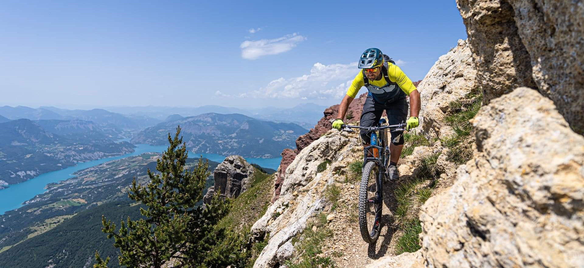
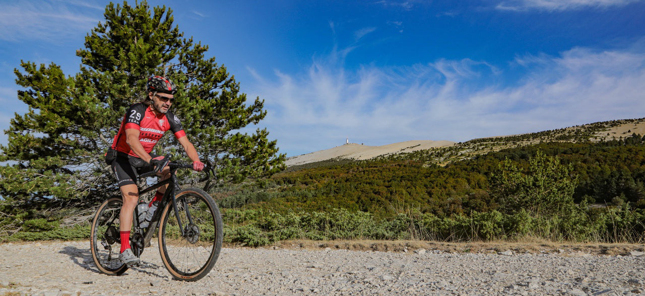
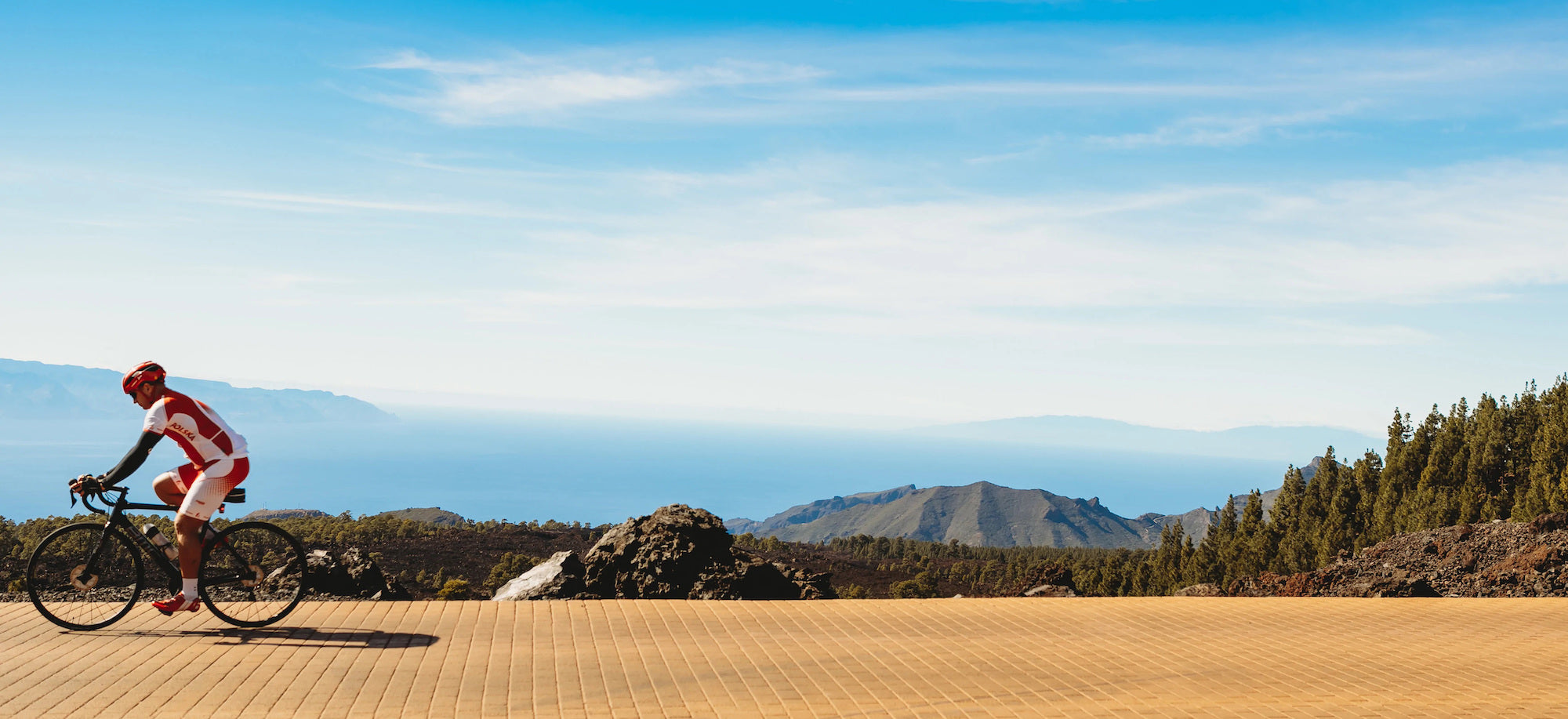
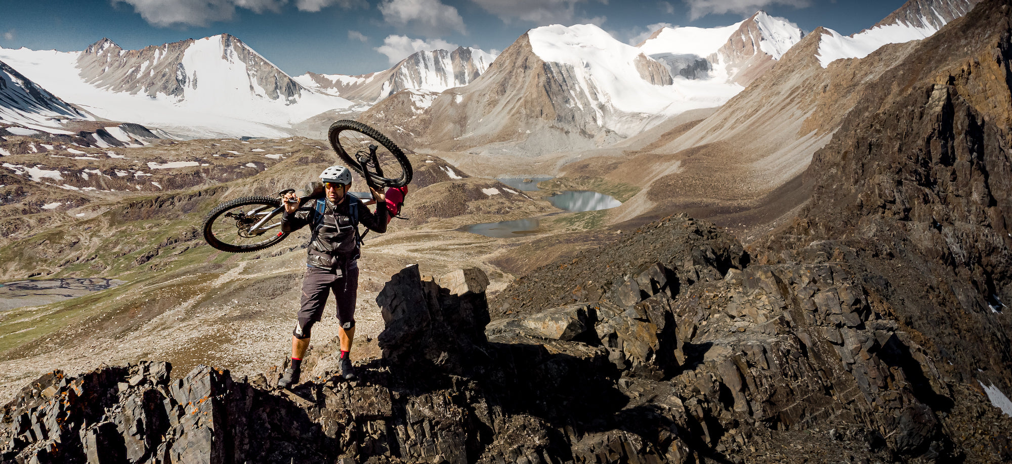
The Isère, what a great playground for cycling enthusiasts! Hills and plains of the northern part offer varied routes. Rivers and lakes water landscapes of hardwoods, meadows and orchards which give pride of place to the cultivation of walnuts. Further south, the “little mill” is often de rigueur. The efforts of cyclists will be rewarded by the wild beauty of the Vercors and Chartreuse mountains. Finally, the alpine part, around the peaks of Belledonne, Taillefer and Oisans, will offer beautiful escapades to the assault of the passes making the legend of the Tour de France. This topo is an invitation to discover Isère for everyone, whatever their level of practice. For each route, a short summary sets the tone of the hike, then a map and a description make it easy to follow the route. The courses are classified according to the FFC rating starting with green, increasing to blue and red then turning to black for the most seasoned. Good road !
- Pays : France
- Région(s) : Auvergne-Rhône-Alpes
- Département(s) : Isère
- Format pratique 12 x 19 cm et léger 400 g
- Traces GPS au format GPX compatibes smartphones et GPS portables
- Des infos récurrentes très utiles : variantes, région, point de vue...
- Photos
- Langue(s) : French
- Auteur(s) : Norbert Teyssier and David Boudin
- ISBN : 9782916972534
- Date de parution : May 1, 2014
Livraison offerte à partir de 60€ en France métropolitaine, Corse, Andorre et Moncaco. Tous les tarifs ici.
Expédié sous 48h dès parution.
Un lien pour télécharger vos Traces GPS vous sera envoyé par e-mail.
Les Traces GPS sont complémentaires du contenu des topo-guide VTOPO.
Nous vous déconseillons d'utiliser uniquement les Traces GPS sans la consultation du topo-guide en question.
Avec ce dernier, vous aurez accès aux niveaux de difficultés, à des recommandations, des précautions et à un descriptif détaillé, utile en cas d'erreur d'orientation. Vous aurez aussi la possibilité de visualiser des variantes et autres possibilités.


